
Satellite technology has transformed how you discover lost Silk Road cities hidden beneath soil and vegetation. High-resolution images reveal surface features like walls, roads, and foundations, helping you locate ancient settlements from space. This method allows you to scan vast regions quickly and differentiate natural formations from man-made structures. By monitoring changes over time, you can also protect these sites from erosion and development. Keep exploring to understand how satellite imaging continues to uncover secrets of the past.
Key Takeaways
- Satellite imaging reveals ancient Silk Road cities hidden beneath soil and vegetation layers.
- High-resolution space images identify surface features like walls, roads, and foundations.
- Remote sensing uncovers previously unknown sites along trade routes, broadening historical understanding.
- Ongoing monitoring tracks erosion and development threats to preserved archaeological locations.
- Technology enhances archaeological research by efficiently mapping and documenting lost cities across inaccessible regions.
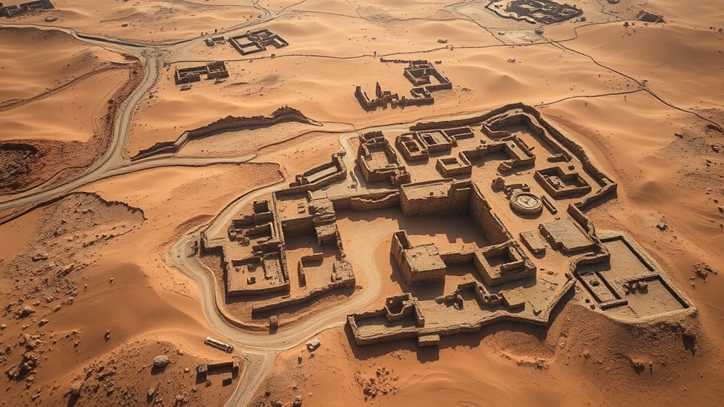
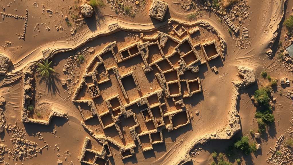
Thanks to advancements in satellite technology, archaeologists are now able to locate and study the ancient cities along the Silk Road that have long been lost to time. These discoveries are possible thanks to modern satellite imaging techniques, which allow you to see beneath layers of soil and vegetation that obscure these hidden sites. By analyzing high-resolution images from space, you can identify subtle surface features—such as faint remains of walls, roads, or foundations—that indicate the presence of ancient settlements. This technology effectively acts as a form of ancient navigation, guiding researchers through the vast and often inaccessible terrains where these cities once thrived.
Satellite imaging reveals hidden Silk Road cities by detecting subtle surface features beneath soil and vegetation.
With satellite imaging techniques, you gain a new perspective on the landscape, revealing patterns that traditional ground surveys might miss. Instead of physically excavating every square meter, you can scan broad areas quickly, pinpointing promising locations for further exploration. These images help distinguish between natural formations and man-made structures, saving time and resources. As you analyze data, you notice how the layout of some ancient cities aligns with trade routes or natural features like rivers and mountain passes, offering clues about their purpose and importance during the Silk Road era. Additionally, advancements in remote sensing technology continue to enhance the resolution and capabilities of satellite imagery, making it an even more invaluable tool for archaeology.
Satellite technology also enables you to track changes over time. By comparing images taken years apart, you can observe erosion, agricultural activity, or development that might threaten these archaeological sites. This ongoing monitoring helps preserve the history embedded in these locations. Additionally, satellite-based remote sensing techniques, such as multispectral and hyperspectral imaging, allow you to detect materials and surface compositions that reveal what was once built or cultivated there. This insight helps reconstruct the life and culture of the people who inhabited these lost cities.
The use of satellite imaging techniques transforms the way you approach archaeological research. Instead of relying solely on traditional excavation methods, you now have a powerful tool to explore vast regions efficiently. This approach broadens your understanding of the Silk Road’s historical network, reveal sites that might have remained hidden without this technological leap. As you piece together these findings, you gain a clearer picture of ancient trade routes, cultural exchanges, and regional dynamics that shaped history. Ultimately, satellite technology empowers you to uncover the lost cities of the Silk Road, turning what was once speculation into tangible, documented reality.
Frequently Asked Questions
How Do Satellites Identify Buried or Hidden Ancient Cities?
You can understand how satellites identify buried ancient cities through remote sensing and data analysis. Satellites use sensors to detect variations in soil, vegetation, and thermal properties that suggest hidden structures. By analyzing this data, you can spot anomalies indicating archaeological sites. This process allows you to uncover lost cities without excavation, providing valuable insights into history and helping preserve cultural heritage efficiently and non-invasively.
What Technologies Are Used Alongside Satellite Imagery for Archaeological Discoveries?
Imagine channeling your inner Indiana Jones—alongside satellite imagery, you use LiDAR mapping and multispectral analysis to uncover hidden secrets beneath the surface. LiDAR sends laser pulses to reveal topographical details, even through dense foliage, while multispectral analysis captures data across different wavelengths, exposing buried structures invisible to the naked eye. Together, these technologies transform satellite data into a powerful toolkit, revealing ancient mysteries waiting beneath the earth’s surface.
How Accurate Are Satellite-Detected Locations Compared to Ground Surveys?
You might wonder how accurate satellite-detected locations are compared to ground surveys. While satellite imagery provides broad, initial insights, ground validation is essential to confirm findings. Sometimes, data limitations like resolution or environmental factors can affect accuracy. So, you should see satellite data as a useful starting point, but always rely on ground surveys to verify and refine the locations for archaeological accuracy.
Are There International Efforts to Protect Newly Discovered Sites?
You’ll find that international collaboration plays a vital role in protecting cultural heritage sites. Many countries and organizations work together to establish guidelines and legal protections for newly discovered locations. These efforts aim to prevent looting, vandalism, and destruction, ensuring the preservation of these important sites for future generations. By fostering international cooperation, you help promote global awareness and shared responsibility in safeguarding our world’s archaeological and cultural treasures.
What Challenges Do Researchers Face When Interpreting Satellite Imagery Data?
You might think satellite imagery makes site interpretation easy, but the truth is, data interpretation can be tricky. Low image resolution often obscures details, making it hard to distinguish between natural features and man-made structures. You need to carefully analyze the data, cross-referencing with other sources. Challenges include shadows, weather effects, and vegetation cover, all of which complicate understanding what the images truly reveal about ancient sites.
Conclusion
As you explore these ancient cities via satellite, it’s like stepping into a real-life Indiana Jones adventure. Modern technology unearths treasures once lost to time, proving that even in the digital age, the past still holds secrets waiting to be uncovered. You can almost hear the echoes of traders and travelers, reminding you that history isn’t just in books—it’s out there, waiting for you to rediscover it. Who knows what other mysteries the sky will reveal next?