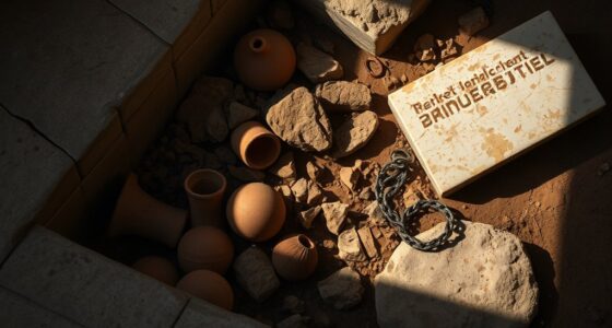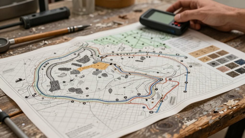

Archaeologists figure out where to dig by studying ancient trade routes, landscape features, and climate changes. They analyze old maps, artifacts, and historical records to identify likely settlement sites. Techniques like ground-penetrating radar and remote sensing help detect underground structures or tombs. Environmental and soil analyses also reveal past human activity. Combining these clues allows them to narrow down promising areas. Keep exploring to discover more about how these methods work together to uncover the past.
Key Takeaways
- Archaeologists analyze ancient trade routes and settlement patterns through old maps, artifacts, and signs of activity.
- They utilize remote sensing tools like ground-penetrating radar to detect underground anomalies.
- Environmental and landscape data help identify historically habitable and strategic locations.
- Soil and environmental analyses reveal past human activity and site significance.
- Legends, historical texts, and landscape features guide targeted excavation areas.
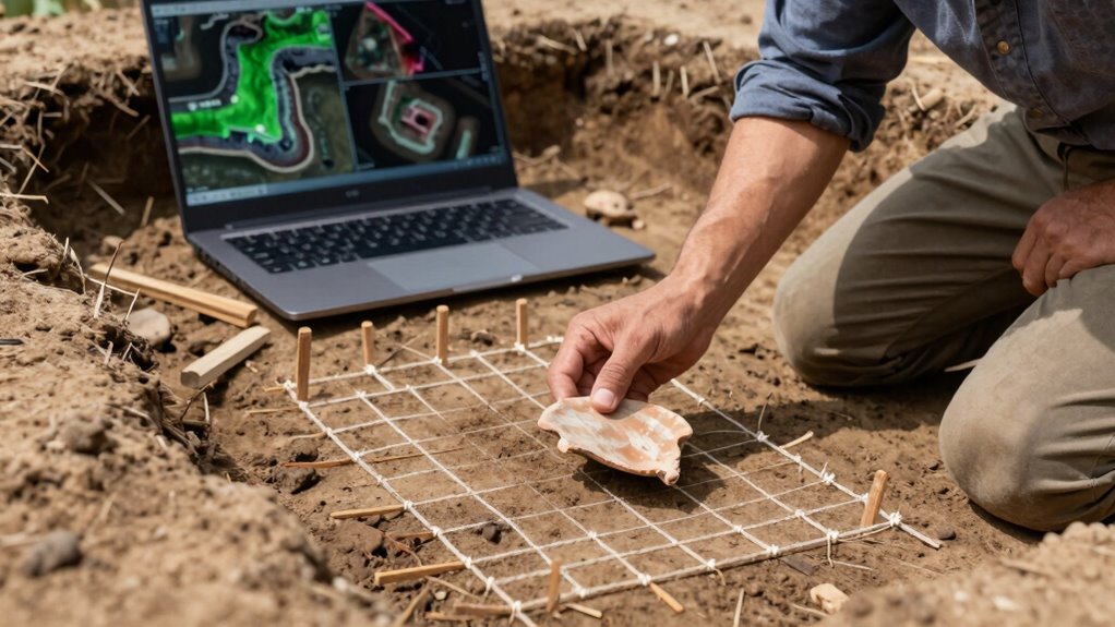
Have you ever wondered how archaeologists decide exactly where to dig? It’s a fascinating process that combines science, detective work, and a bit of intuition. One of the first clues they examine is ancient trade routes. These routes, used centuries ago, crisscrossed regions and connected different civilizations. By studying old maps, historical records, and even oral histories, archaeologists can identify likely pathways where settlements, markets, or resting points might have existed. For example, a trail that linked two major cities could have been a hub for trade, making it a promising spot for excavation. When archaeologists analyze these routes, they look for signs of activity—such as remnants of roads, trading posts, or artifacts—that suggest human presence. These clues help them narrow down their search to specific areas where ancient communities thrived.
Another key factor is the search for hidden burial sites. Throughout history, people often buried their loved ones in sacred grounds, sometimes deliberately concealed or built over time. These hidden burial sites might be overlooked by surface surveys but can be uncovered through various methods. Archaeologists frequently use ground-penetrating radar and other remote sensing tools to scan the landscape without disturbing the surface. These technologies reveal anomalies underground that could indicate tombs or burial chambers. Additionally, they pay attention to local legends, historical texts, and the layout of ancient settlements, which can point toward potential burial locations. Once they pinpoint a promising site, they may conduct test excavations to confirm whether it’s a burial site or something else entirely. Incorporating geophysical survey techniques helps archaeologists detect subsurface features more efficiently and accurately. Moreover, environmental data and soil analysis can provide insights into past human activities and habitation layers, further refining their search areas. By understanding the landscape’s history, archaeologists can better interpret the significance of these clues and improve their chances of success. A thorough understanding of the archaeological context is essential for making accurate predictions about where to dig. Additionally, studying climate patterns from different eras can inform archaeologists about areas that may have been more hospitable or strategically important in the past.

Ground-Penetrating Radar for Archaeology
As an affiliate, we earn on qualifying purchases.
As an affiliate, we earn on qualifying purchases.
Frequently Asked Questions
What Tools Do Archaeologists Use for Site Detection?
You use tools like remote sensing and geophysical methods to detect archaeological sites. Remote sensing involves satellite images and aerial photography to spot surface features, while geophysical methods, like ground-penetrating radar and magnetometry, help you identify buried structures without excavation. These tools allow you to locate promising areas efficiently, saving time and effort before you start digging. They’re essential for ensuring your excavation targets the most promising spots.
How Long Does It Take to Find a Promising Dig Site?
You might spend months, even years, finding a promising dig site. For example, remote sensing helps identify buried cultural layers, revealing potential sites beneath the surface. Archaeologists analyze data from these surveys, looking for anomalies indicating human activity. This process involves careful interpretation, so patience is key. Once promising signs emerge, excavation plans begin, but pinpointing the exact spot can still take additional time, depending on the complexity of the site.
Can Local Legends Help Locate Archaeological Sites?
Yes, local legends can help locate archaeological sites. Legendary clues often contain folklore significance, hinting at hidden treasures or ancient settlements. By listening to community stories and understanding their cultural importance, you might identify promising areas for excavation. Archaeologists use these clues as starting points, combining them with scientific methods to confirm the presence of artifacts or structures, making legends valuable guides in the search for historical sites.
How Do Archaeologists Distinguish Between Natural and Human-Made Features?
You can tell natural from human-made features by examining artifacts and cultural layers carefully. Archaeologists use artifact dating to identify age and purpose, revealing human activity. Natural features often lack these signs and show consistent geological patterns. When you spot organized patterns, tools, or pottery, it’s clear human involvement. It’s a real case of reading between the lines, as these clues help distinguish deliberate creation from natural formations.
What Role Do Environmental Changes Play in Site Discovery?
Environmental changes, like landscape shifts and environmental clues, play a vital role in site discovery. You look for signs such as altered terrain, soil discoloration, or unusual plant growth that hint at past human activity or buried structures. By analyzing these clues, you can identify potential archaeological sites. Changes in the environment often reveal where ancient settlements, water sources, or activity areas once existed, guiding your excavation efforts effectively.

Satellite Remote Sensing for Archaeology
As an affiliate, we earn on qualifying purchases.
As an affiliate, we earn on qualifying purchases.
Conclusion
Just as explorers once charted uncharted waters, archaeologists navigate the unseen layers beneath our feet, guided by clues and technology. With each discovery, they turn the earth like a seasoned sailor reading the stars, revealing stories long buried. So, before you dig, remember—it’s not just about breaking ground, but about revealing the past’s hidden chapters, much like opening a long-forgotten treasure chest that holds the whispers of history waiting to be heard.

MySoil Soil Test Kit, Unlock Your Lawn & Garden Potential, Complete & Accurate Nutrient and pH Analysis with Recommendations Tailored to Your Soil and Plant Needs
- Professional Soil Testing Kit: Accurate nutrient and pH analysis
- Fast Results: Receive results in 6-8 days
- Comprehensive Testing: Measures 13 nutrient levels including Nitrogen and pH
As an affiliate, we earn on qualifying purchases.
As an affiliate, we earn on qualifying purchases.

30 Pcs Dino Fossils Dig Kit Digging Hammer Chisel Brush Archaeological Excavation Tool Kit Science Kits for Girls Boys
- Number of Tools: Includes 9 excavation tools
- Tool Size: Perfect for small hands
- Realistic Functionality: Simulates real tools for learning
As an affiliate, we earn on qualifying purchases.
As an affiliate, we earn on qualifying purchases.