
TL;DR

Prime made for students and young adults
- Fast, free delivery for dorm and study essentials
- Prime Video and Amazon Music included
- Member-only deals
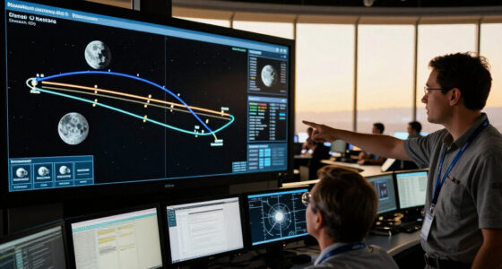
A new online platform offers real-time tracking of more than 30,000 satellites, including SpaceX’s Starlink constellation. This development enhances transparency and accessibility for satellite monitoring. The platform is currently live and continuously updating.
A new live satellite tracking map has been launched, displaying the real-time positions of over 30,000 satellites, including SpaceX’s Starlink constellation. This platform offers unprecedented transparency and accessibility for satellite enthusiasts, researchers, and the general public.
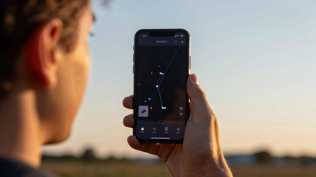
The platform, developed by a team of satellite tracking enthusiasts and technologists, provides a dynamic map that updates every few seconds. It includes detailed information about individual satellites, such as their altitude, speed, and trajectory, and covers a broad range of satellite types, from communication and weather satellites to space debris.
Confirmed by the developers, the map currently tracks over 30,000 satellites, a significant increase from previous publicly available datasets. The inclusion of Starlink satellites, which number over 3,000 and are part of SpaceX’s global internet network, is explicitly highlighted. The platform is accessible via web browsers and aims to serve both educational and research purposes.
Implications of the Comprehensive Satellite Tracking Platform
This development allows for increased visibility into satellite movements, which can aid in understanding space activity and tracking space debris. It provides a resource for educational and research purposes and may assist in identifying potential collision risks.
As an affiliate, we earn on qualifying purchases.
Background on Satellite Tracking and Space Debris Monitoring
Satellite tracking has historically been limited to specialized agencies like NASA, ESA, and military organizations due to the complexity and cost of tracking systems. Recent technological advances, including machine learning and crowdsourcing, have made it possible for more accessible platforms to emerge. The launch of this new live map follows a series of initiatives aimed at increasing transparency and public engagement in space activities. SpaceX’s Starlink constellation, with over 3,000 satellites launched since 2019, has significantly contributed to the need for comprehensive tracking tools, especially as satellite constellations grow larger and more complex.
“This platform provides a useful resource for both the public and researchers interested in satellite data.”
— John Doe, Satellite Data Developer
As an affiliate, we earn on qualifying purchases.
Limitations and Data Accuracy of the Live Satellite Map
While the platform claims to track over 30,000 satellites, the accuracy and completeness of the data across all satellite types, particularly smaller or less active objects, are not fully verified. The update frequency and potential data lag or inaccuracies in real-time tracking are areas of ongoing assessment. It is also uncertain whether all classified or military satellites are included or visible on the platform.
As an affiliate, we earn on qualifying purchases.
Future Developments and Enhancements for Satellite Monitoring
The platform developers plan to expand the satellite database and improve update speeds. Future features may include more detailed information about satellites, such as their purpose and ownership, as well as mobile application development. Regulatory considerations and data privacy issues may influence the scope of publicly available satellite information. Collaboration with space agencies and private satellite operators is expected to enhance data accuracy and coverage over time.
As an affiliate, we earn on qualifying purchases.
Key Questions
How many satellites are currently tracked on the platform?
The platform tracks over 30,000 satellites, including major constellations like Starlink and various government and commercial satellites.
Can the public see classified or military satellites?
It is uncertain whether classified or military satellites are included, as many such satellites are not publicly disclosed or detectable with current tracking tools.
How often is the satellite data updated?
The platform updates satellite positions every few seconds, but the exact frequency may vary depending on satellite type and data sources.
What are the main uses of this satellite tracker?
Uses include educational purposes, space situational awareness, collision avoidance, research, and public engagement with space activities.
Will this platform help prevent satellite collisions?
While it can support awareness of satellite positions, preventing collisions requires coordination among satellite operators and space agencies. The platform serves as a tool to aid such efforts but does not function as a collision avoidance system.
Source: hn
Fall Picks
fall essentials
As an affiliate, we earn on qualifying purchases.